
WTFAustin
Sirens, a helicopter, a closed road? See what Austin's public feeds report, on one live map.
Free. No account, no ads. Covers Austin and Travis County.
One map instead of five tabs
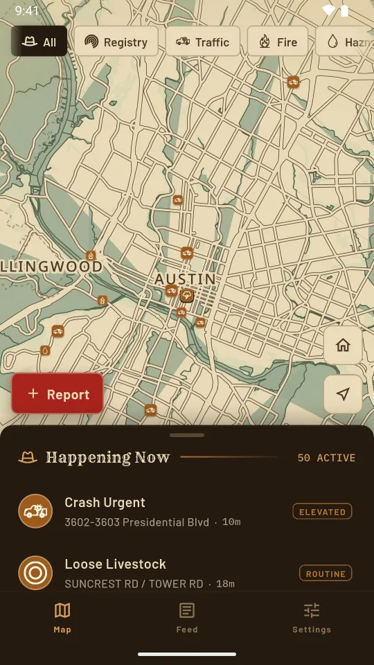
When the sirens start, the answer is usually already public: the city posts traffic incidents and fire calls within minutes, and the National Weather Service posts warnings for Travis County. It is just spread across feeds nobody keeps open. WTFAustin puts all of it on one map, marked Critical, Elevated or Routine.
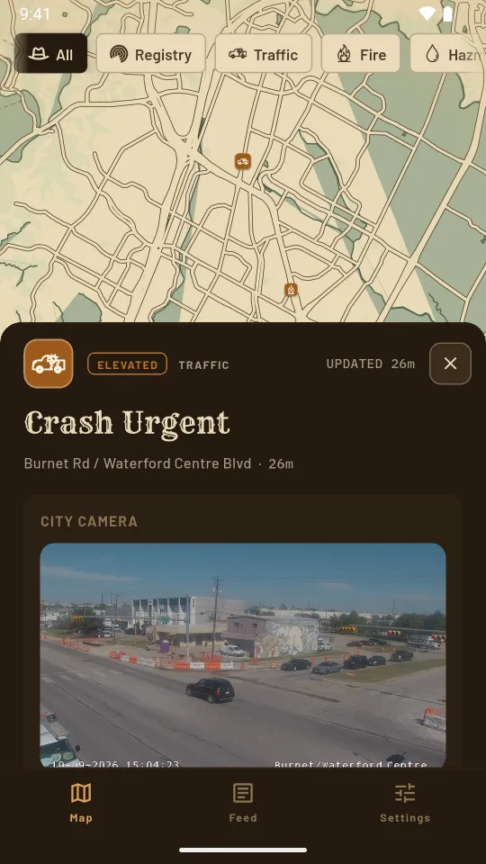
Tap a marker to see what was reported, where, when the city last updated it and whether crews are still on scene. If a city traffic camera stands within a few hundred meters, the card shows its latest frame. Austin publishes no live police or medical calls, so neither does the map, and it never pretends to.
What it does
Everything below is free. Premium adds one thing: alerts for your home zone.
Traffic, fire and weather
Wrecks and road hazards in Austin and Travis County, Austin Fire Department calls and National Weather Service warnings.
City cameras
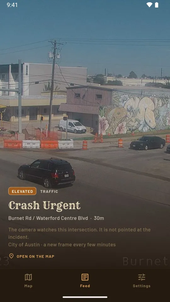
The nearest traffic camera's latest frame, refreshed every few minutes. It watches the intersection, and the card says so.
The day in one feed
The last 24 hours in Austin, one incident to a screen, camera pictures first. Open any of them on the map.
Neighbor reports
Drop a pin and describe what you see. A moderator reads every report before anyone else does. Any post can be reported and its author blocked.
Home zone alerts
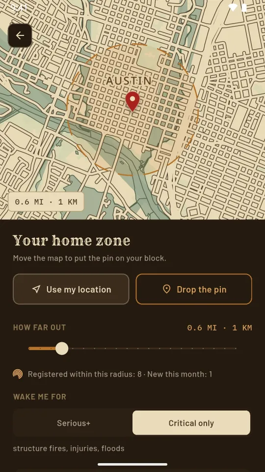
Premium: a pin with alerts for serious incidents near it, a radius from 250 m to 5 km, and quiet hours that let only critical events through.
77 languages
The whole app is translated. Incident titles and addresses stay in English, as the city publishes them.
No ads, no tracking
Your location is used only while the app is open, to center the map on you or place your home pin, never in the background. There is no account to create.
Usage statistics and crash reports are collected only if you switch them on. Delete your account in Settings and your home pin, reports and alert settings are erased from our servers.
Read the full Privacy Policy or how to delete your account.
Frequently asked
Where do the incidents come from?
From public feeds the City of Austin and the National Weather Service publish: the real-time traffic incident feed for Austin and Travis County, Austin Fire Department calls, and weather warnings for Travis County. WTFAustin shows them on one map within minutes of the city posting them.
Does WTFAustin show police calls or crime?
No. Austin publishes no live police or medical calls, so the map has none. If sirens or a helicopter have no matching incident on the map, the city has not published one.
Is WTFAustin free?
Yes. The live map, city camera pictures, the Feed, neighbor reports and the registry layer are free, with no account to create. Premium, at $1.99 a month or $9.99 a year in the US, adds a home zone with alerts for incidents near it.
Does it track my location?
No. Location is used only while the app is open, to center the map or place your home pin, never in the background. There are no ads and no tracking; usage statistics are collected only if you switch them on.
Does it work outside Austin?
The map covers Austin and Travis County, because that is what the city feeds cover. Cedar Park, Round Rock, Leander and San Marcos mostly do not appear.
Runs on your phone
- Android: on Google Play now
- iPhone: in App Store review
- Free; Premium is $1.99 a month or $9.99 a year in the US
Know what the sirens are about
Questions? Visit Support. In an emergency, call 911.